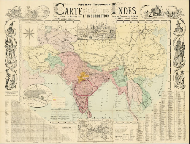
1. https://www.raremaps.com/gallery/detail/105840
The #Kuki people’s historical presence in the hills surrounding the #Manipur valley is well-documented and undeniable. The 1857 "Carte Generale Des Indes" map, which mentions "Konkis" (Kukis) below "Muunipour" (Manipur), is just one of many historical records that confirm this. Countless other maps and colonial documents, like the Proceedings of Meetings Vol VIII of the Indian Historical Records Commission (1925, Lahore), describe Manipur as being surrounded by "large tracts of Cookie Mountains." These records prove that the Meitei kingdom was historically limited to the valley, while the hills were inhabited by the Kuki-Zo and Naga tribes. Despite this clear evidence, the Meitei community and the Manipur government continue to push a false narrative to undermine the Kuki-Zo people’s rights to their ancestral lands.
~ ngulminthang


.jpeg)


.JPG)


No comments:
Post a Comment
Comments not related to the topic will be removed immediately.